A few years back, a group of us were trying to name our crew. Someone threw out “Route 071.” It landed.
Then I looked up Route 071.
It’s a 15-mile state highway in Southern California. Not a transcontinental epic. A short connector between Corona and San Dimas, plagued by thick winter fog, tangled in funding battles, and still under construction after 90 years.
Here’s what I found when I went down the rabbit hole.
Key Takeaways
Route 71 spans 15-16 miles from SR 91 in Corona to the Kellogg Interchange (I-10/SR 57) in San Dimas, crossing Riverside, San Bernardino, and Los Angeles counties — a lot of jurisdiction for a short road.
The highway switches between expressway and freeway segments, with a notorious half-mile bottleneck at its southern end where drivers hit an at-grade bus-only intersection before the freeway starts.
Construction to convert the remaining 3.5 miles of expressway into an eight-lane freeway has cost at least 18 homes (12 originally planned), seen costs nearly double from $169 million to $309 million, and isn’t expected to finish until 2029.
Table of Contents
A 16-Mile Highway in Three Acts
Drive Route 71 from south to north and you hit three distinct sections. The first half-mile from SR 91 is an expressway with one at-grade intersection at Pomona Rincon Road — but it’s government access only, so unless you’re an official route driver, it doesn’t slow you down. After that, the freeway opens up, and you can finally hit the gas.
Between there and Rio Rancho Road, it’s four to six lanes, depending on where you are. The HOV lane only exists in Chino Hills and Chino — it ends at the county line. Then, north of Rio Rancho, you’re back on expressway until Mission Boulevard, where the freeway picks up again and runs you straight into the Kellogg Interchange.
But the real character of this road? The fog.
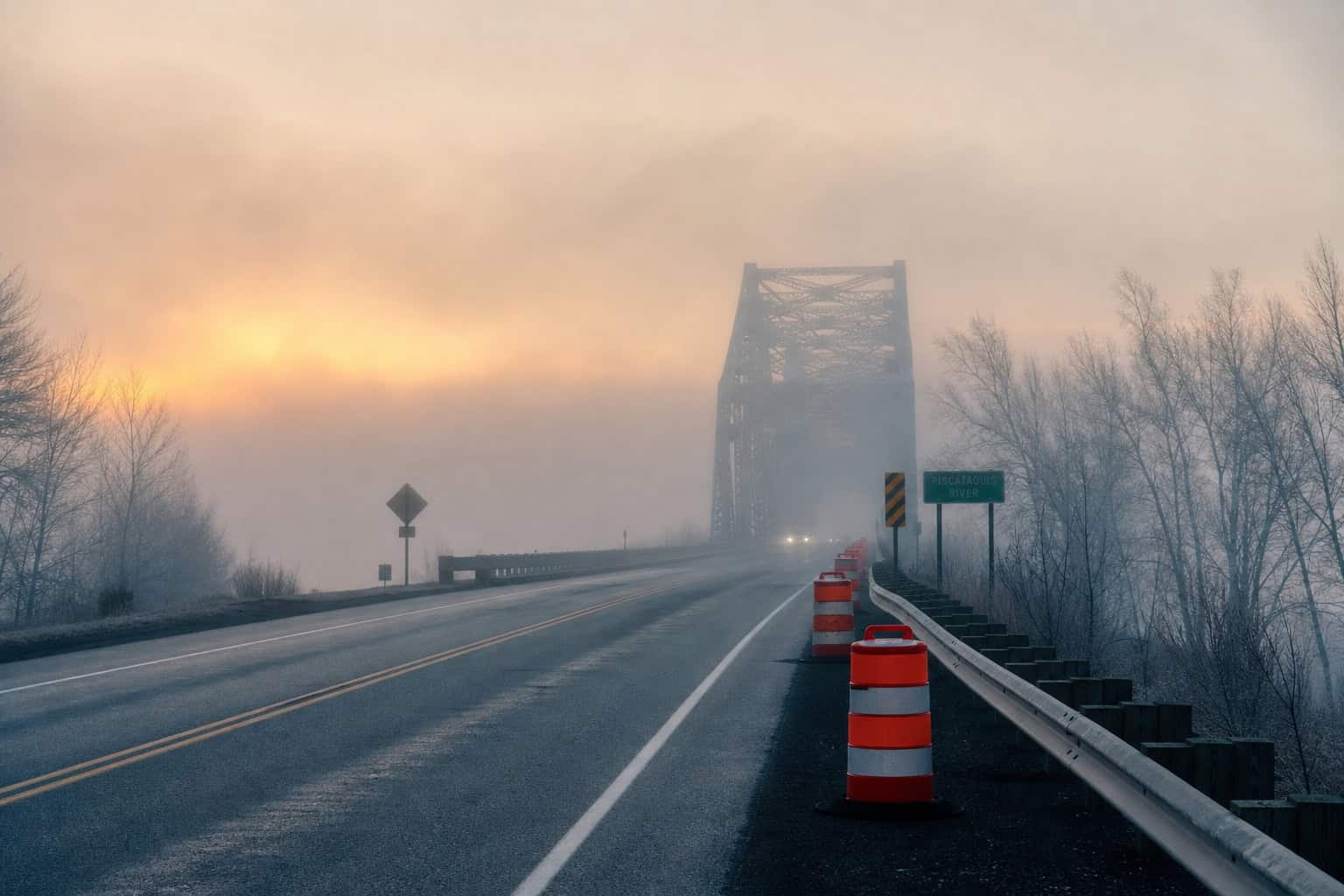
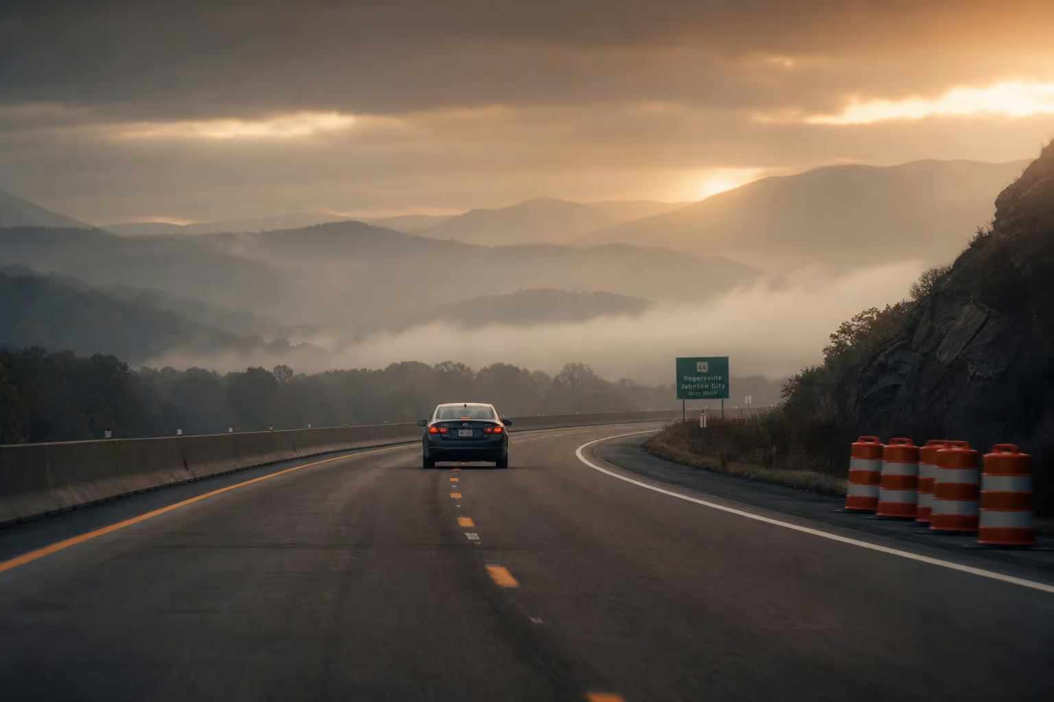
The stretch from Corona to Chino is infamous for dense winter fog at dawn and dusk. Residents of what used to be Los Serranos (now Chino Hills) used to get woken up by the sound of cars colliding. Crinkling bumpers, fenders, headlights.
And here’s a weird detail: SR 71 is one of only five routes in California where the mile markers go up as you head south instead of north. It’s a leftover from when the road originally ran east-west. The numbers just never got flipped.
History: From 100 Miles to 16
When Route 71 first showed up on state maps in August 1934, it was a different animal. It ran from US 80 near San Diego up to US 66 near Claremont — over 100 miles, through Lake Elsinore and Temecula. And it followed a route already ancient: the Butterfield Overland Mail stagecoach line between Pomona/Claremont and Lake Elsinore. Dirt before it was pavement, unlike the paved California Route 1, which now starts at $71,575.
But big routes get carved up. Over the decades, pieces of old SR 71 became US 395, then I-15, SR 215, SR 79, and SR 371. In 1974, the state deleted major segments and turned the road from east-west to south-north. What had been SR 71 from near Aguanga to SR 74 became SR 371. The route kept shrinking.
Construction happened in fits. The first freeway segment — from the Kellogg Interchange to SR 60, opened in 1971. The link from SR 60 down to SR 91 didn’t finish until March 1998. The Mission 71 Project in Pomona (2008 to 2011) built a bridge so Mission Boulevard could go over the highway, closing the Ninth Street intersection. Mission Boulevard to the northern terminus got upgraded to freeway in 2012.
Decades of work for 15 miles. And it’s still not done.
The 71/91 Interchange: Finally Fixing the “Hairpin Turn”
The southern end of Route 71 had a problem that made everyone who drove it curse. A one-lane loop ramp from eastbound SR 91 to northbound SR 71 — known as the “hairpin turn”, backed up traffic for miles. You’d slow to a crawl, creep through the loop, and hope nobody rear-ended you.
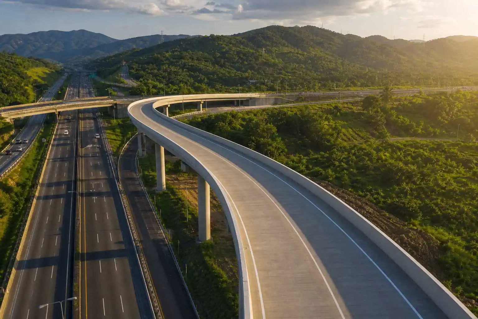
In March 2023, the Riverside County Transportation Commission started building a fix. A two-lane direct flyover ramp, 2,500 feet long — almost half a mile of elevated road. Cost $137 million. The contractor, Skanska, reached substantial completion by September 2025, and the ramp opened to traffic on June 23, 2025.
That’s the kind of infrastructure fix that works. Less braking, more flowing. The environmental mitigation was thorough — they had to protect habitats for bobcat, coyote, fairy shrimp, nesting birds, bats, and rattlesnakes, but the result is a ramp that doesn’t make you want to throw your coffee across the dashboard.
Funding came from a mix of SB1 (the gas tax), Measure A, and the Local Partnership Program. The kind of alphabet soup that pays for real changes.
The $300 Million Battle to Finish the Freeway
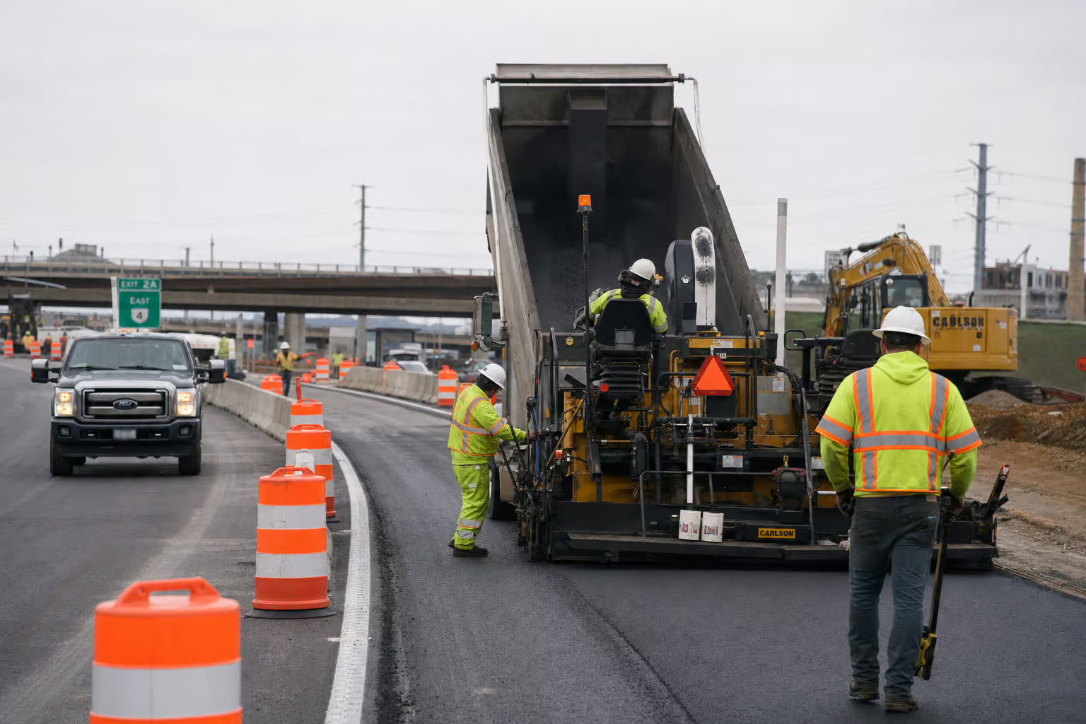
The big fight right now is the expressway-to-freeway conversion. Three and a half miles of four-lane expressway between Rio Rancho Road and Mission Boulevard, being turned into an eight-lane freeway. One regular lane and one HOV lane in each direction.
It’s split into two segments: North (I-10 to Mission Boulevard) and South (Mission Boulevard to the county line). Phase 1 ran from spring 2021 to spring 2024. Phase 2 is scheduled from spring 2024 to spring 2027.
But here’s where the numbers get ugly. The North Segment was originally estimated at $169 million. The latest estimate? $309 million. Nearly doubled.
Utility pole relocations and drainage changes nobody saw coming added $2.175 million alone. In March 2023, Phase 2 faced a funding shortfall of up to $99 million.

And then there’s the human cost.
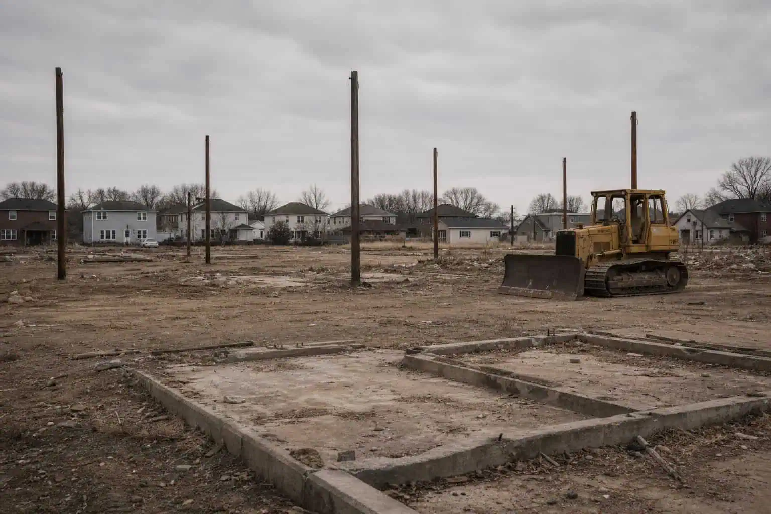
Caltrans demolished at least 18 homes for the widening. The approved plan only called for about 12. Seventeen of those homes sat in the Westmont and Phillips Ranch neighborhoods. The families who lived there are gone, and the access points they used — Phillips Drive, Old Pomona Road, North Ranch Road, are permanently closed. The Grier Street pedestrian bridge is being demolished and replaced at 9th Street.
The latest plan, from February 2026, has Metro putting $336 million into the gap from I-10 to Rio Rancho, with completion estimated in 2029. That’s more than a decade after the first shovel hit dirt.
What’s on the Road: Memorials and a Mural
This short highway carries stories.
The portion between I-10 and SR 60 is designated the Pomona Police Officer Daniel T. Fraembs Memorial Highway. Fraembs was an orphan found abandoned on a beach in Hong Kong, adopted at nine months, became a Pomona police officer, and was killed in an ambush on May 11, 1996. The man convicted, Ronald Bruce Mendoza, awaits execution at San Quentin.
Between SR 60 and Central Avenue, the highway memorializes Correctional Officer Manuel A. Gonzalez, Jr., who was fatally stabbed by an inmate on January 10, 2005, at the California Institution for Men.
From Soquel Canyon/Central Avenue to Pine Avenue in Chino Hills, the road is named the Mayor James Thalman and Mayor Michael Wickman Memorial Highway. Both served as mayors of Chino Hills — Thalman was on the first city council in 1991.
On Prado Dam, a mural was created by Corona High School students in 1976. The Bicentennial Freedom Mural — a Liberty Bell with “200 YEARS OF FREEDOM”, was started by a student named Terry Smith after visiting the Freedom Train in Pomona. Designed by Ron Kammeyer. In 2023, volunteers restored it, putting in thousands of hours over 10 years.
The Ghost of Route 71: SR 79 and SR 371
The original Route 71 south of Corona didn’t disappear. It just got new numbers.
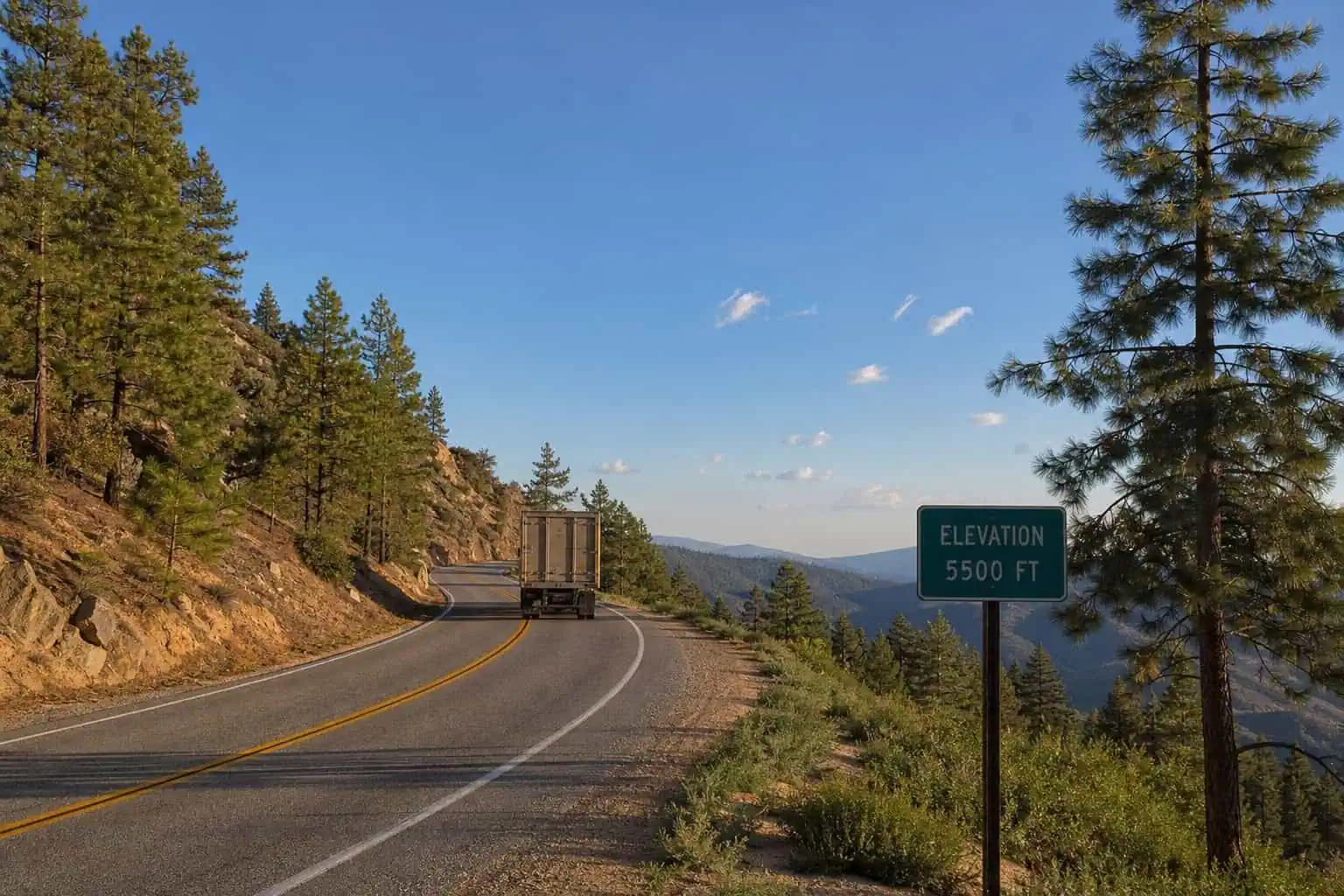
If you take SR 79 from Temecula south to Aguanga, you’re driving the old SR 71 alignment. Temecula Parkway, winding through the hills. It’s a safety corridor now, with vehicle length restrictions — 30 feet or longer prohibited.
At Aguanga, SR 79 meets SR 371. And here’s where it gets interesting: the postmile numbering on SR 371 starts at RIV 56.469 — inherited directly from SR 71. The state never reset the count. It’s like the road remembers what it used to be.
SR 371 runs 18 miles through Anza, elevation 3,921 feet, named after Spanish explorer Juan Bautista de Anza. It passes through the Cahuila Indian Reservation, enters San Bernardino National Forest, and ends at SR 74 — the Pines-to-Palms Highway. Truck restrictions apply. Chain controls in winter. A real road.
The Open Road, Narrowed
I started this because the name “Route 071” meant something to a group of guys. Escape. Territory. The idea that you could get in a car and just go.
The real road is different. It’s 15 miles of contested infrastructure, still being fought over after nearly a century. It’s fog that hides the car in front of you, flyover ramps that cost $137 million, and homes demolished because the state didn’t plan well enough. It’s a stagecoach route that became a freeway that became a construction project.
Route 071 isn’t the open highway of American myth. It’s a short, dangerous, expensive, beautiful piece of infrastructure that real people have been trying to finish for 90 years. And they’re still at it.
That’s worth naming something after.
Frequently Asked Questions
Where does US highway 71 start and end?
Route 71 runs from SR 91 in Corona to the Kellogg Interchange (I-10/SR 57) in San Dimas, spanning about 15–16 miles across Riverside, San Bernardino, and Los Angeles counties. It’s a short state highway in Southern California, not a US highway.
Why is Route 71 still under construction after 90 years?
Route 71 has been under construction for decades due to funding battles, cost overruns, and jurisdictional complexity across three counties. The current expressway-to-freeway conversion of 3.5 miles has seen costs nearly double from $169 million to $309 million, with completion now estimated for 2029.
What is the ‘hairpin turn’ on Route 71?
The ‘hairpin turn’ was a one-lane loop ramp from eastbound SR 91 to northbound SR 71 that caused severe traffic backups. It was replaced by a two-lane direct flyover ramp that opened in June 2025, costing $137 million and significantly improving traffic flow.
How many homes were demolished for the Route 71 widening?
At least 18 homes were demolished for the Route 71 widening, more than the originally planned 12. The homes were in the Westmont and Phillips Ranch neighborhoods, and several access points were permanently closed as a result.